Daubhill
A Walk Around Daubhill in 1975
Daubhill - pronounced Dobble - was centred on the raised area close to the Stag Public House on St Helens Road. The Hill of Clay (Daub) was adjacent to the the railway crossing. Daubhill extends from Adelaide Street to Morris Green Lane. Park Cakes (formerly Warburtons Bakery) is (1980s) above this area.
Rumworth & Daubhill Railway Station, at the corner of St Helens Road and Deane Church Lane, was a popular starting point for local holidays to North Wales, prior to its closure to passengers in the 1950s. More details
Information from Mervyn Gledhill
In 1975 Mr. F Boardman took a walk around Daubhill and photographed buildings and streets that were under threat of demolition. Thanks to him there is now a record of the old Daubhill. These are just a sample.
|
 |
 |
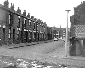
Unsworth Street
Unsworth Street was adjacent to Can Row, near Peace Street, and just off Cannon Street. It was demolished in the late 1970's and replaced with new housing. Birkdale Gardens now occupies the site. It was significant in that it was the street where Bill Naughton, the famous Bolton author and playwright, lived for much of his early life. |
Birkdale Street
The corner of Can Row, and Birkdale Street. The street corners were gathering places where stories and tales were told, and games played. Can Row is still there, leading up to Peace Street. |
 |
 |
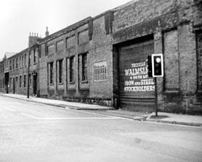
Bridgeman Street
Walmsleys Forge was situated on Bridgeman Street, on the site now occupied by the Mill View Nursing Home. |
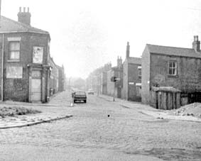
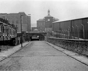
Rothwell Street
Rothwell Street, with the Derby Iron Works on the right. This was William Crumblehulme and Son's Iron Foundry, which, among many other things, made kitchen ranges and domestic boilers. |
 |
 |
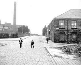
Gregson Field
Looking towards High Street with the chimney of High Street Baths in the background. |
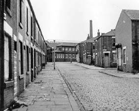
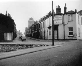
Barrier Street or Shed Lane
At the end of the street is Tootal Broadhurst's Sunnyside Mills. |
 |
 |
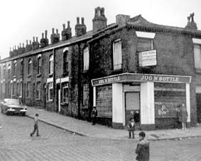
Thomas Rostron Street
The Jug 'n' Bottle. Beer could be purchased in a jug from corner shop off licenses. |
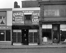
Derby Street
Pikes outfitters, suppliers of hats and caps. The shop was situated at the bottom of Derby Street |
 |
 |
Fletcher Street
The corner of Fletcher Street, and over the border in Great Lever. On the left is the Atlas Cinema. |
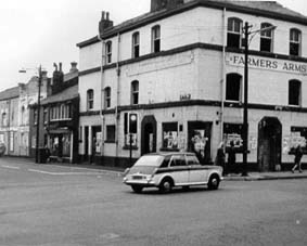
Bamber Street
On the left is the site of Emmanuel School, on the right, the Church Inn. In the background is the tower of Magee's Brewery. |
|